Leica Zeno
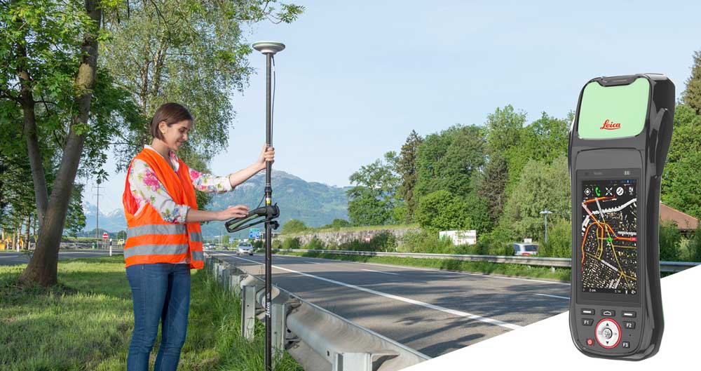
With the Zeno GIS series you can combine various sensors with high-accuracy GNSS and store information in a GIS compatible format.

With the Zeno GIS series you can combine various sensors with high-accuracy GNSS and store information in a GIS compatible format.