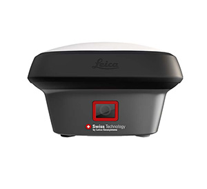

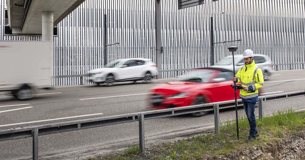
Leica GS18 I
Measure what you see using this versatile, survey-grade GNSS RTK rover with Visual Positioning.
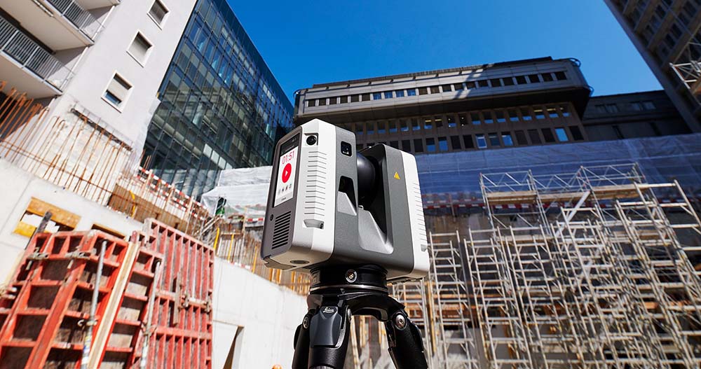
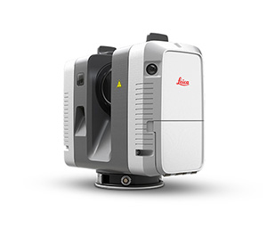
Leica RTC360
3D reality capture solution combining a high-performance laser scanner and mobile-device app to capture and register scans in real time.
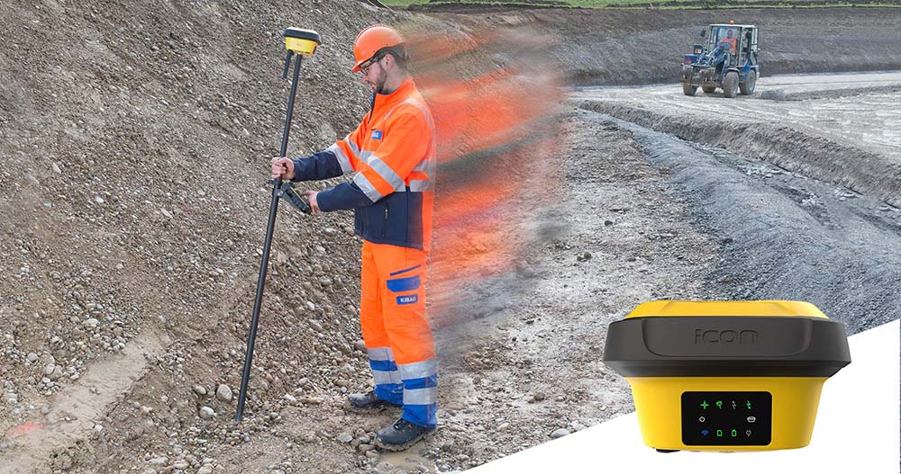
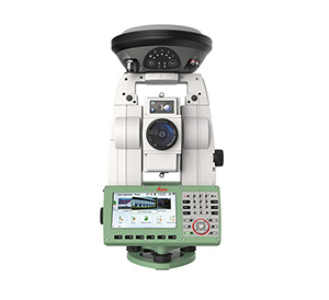
Leica iCON gps 70 T
Measure and stakeout points quicker than ever before without the need to keep the pole vertical and level the bubble.
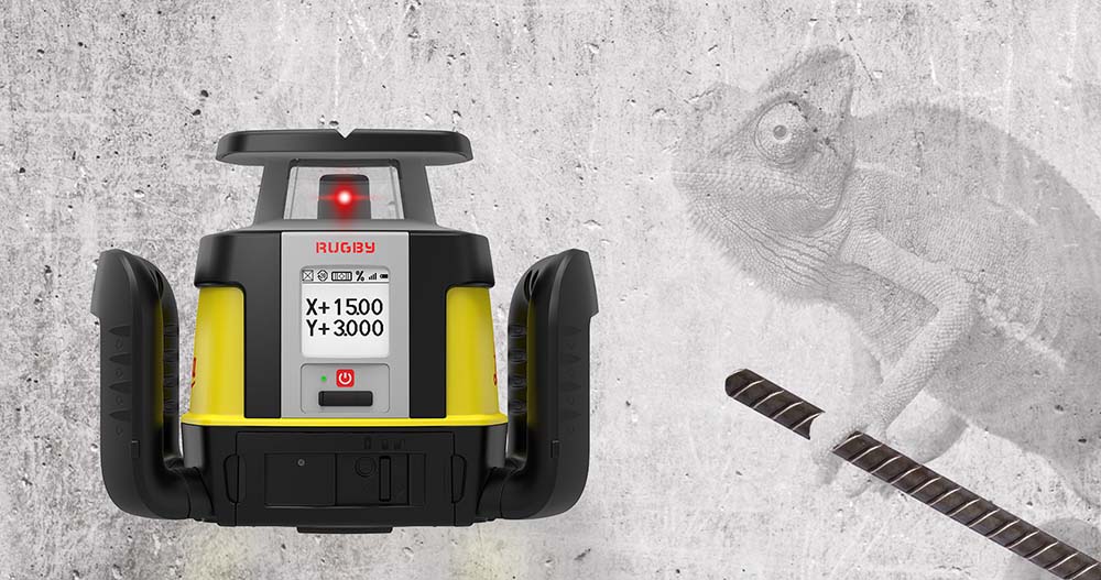
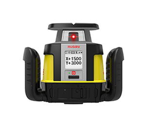
Leica Rugby CLA & CLH
First upgradable lasers