Leica Geosystems 3D laser scanning software suite sets the industry standard to capture, visualise, extract, analyse, share and represent point cloud data.
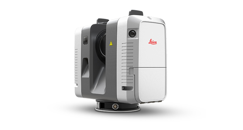
Delivering outstanding range, speed and highest quality 3D data, Leica Geosystems laser scanners are the perfect partner for any tasks in 3D laser scanning.