

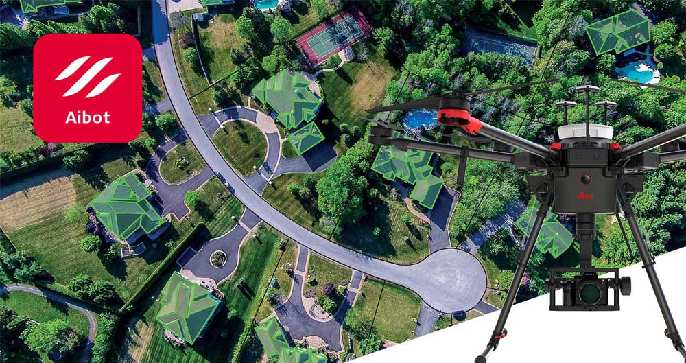
Leica Aibot SX for Surveying
Capturing reality from the air for efficient cadastral survey, 3D mapping and asset inspection.
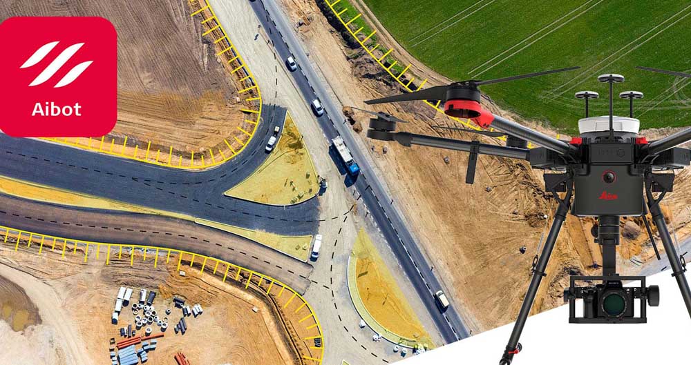
Leica Aibot CX for Construction
Digitisation of the construction site for efficient volume calculation, progress reporting and topographic survey.

